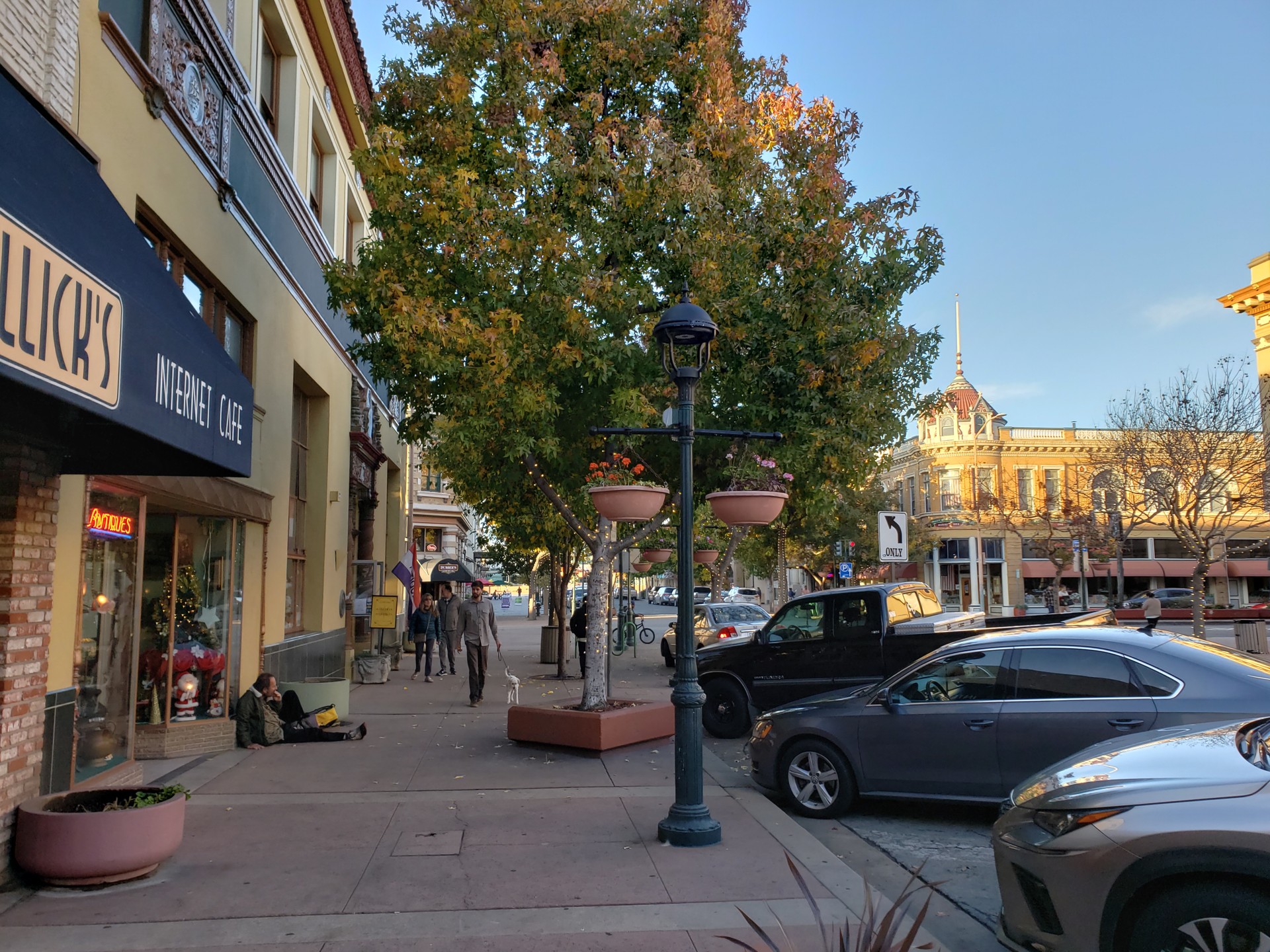
Main Street in Salinas, photographed in 2018

Family

Playgrounds in Salinas

25 parks with a playground, closest to downtown first.

Playground map

Map of 25 places loads as you scroll.

Within 2 miles of downtown (11)

2 to 5 miles (14)

From OpenStreetMap, checked October 2026. Equipment, shade and restrooms vary; check the city parks department for closures and renovations.

Around Salinas

Front View of the Krough House, Salinas
Front View of the Krough HouseGregory Ford Henderson · CC BY-SA 4.0
Bobcat Bicycles at Salinas, CA
Bobcat Bicycles at Salinas, CASuiren2022 · CC BY-SA 4.0
Historic Main Street, Salinas, California
Historic Main Street, Salinas, California (13407890615)Ken Lund from Reno, Nevada, USA · CC BY-SA 2.0

Family time in Salinas

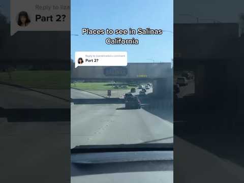
Places to see in Salinas part two! video thumbnail

THINGS TO DO · YOUTUBE SHORT

Places to see in Salinas part two!

An activity Short shared by Lis.

Watch on YouTube ↗
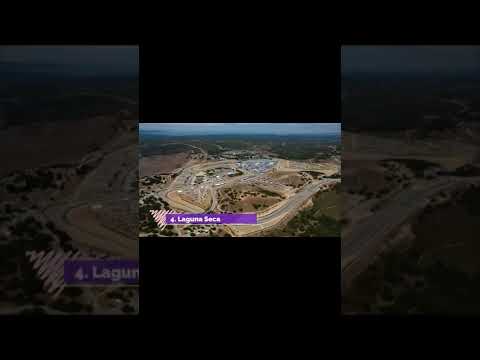
Top 10 Best Tourist Places to Visit in Salinas, California | USA - English video thumbnail

THINGS TO DO · YOUTUBE SHORT

Top 10 Best Tourist Places to Visit in Salinas, California | USA - English

An activity Short shared by Wiki Peaks - Shorts.

Watch on YouTube ↗

More for kids in Salinas

Questions

How many playgrounds are in Salinas?

25 parks in Salinas have a playground mapped in OpenStreetMap (checked October 2026). School playgrounds and private play areas aren’t included.

Which playground is closest to downtown Salinas?

Clay Street Park, about 0.5 miles from downtown, followed by Central Park (0.6 mi).

Are there parks with a playground and a dog park?

Yes: Nativiad Creek Park.

What can kids do in Salinas on a rainy or hot day?

Try kids and family events, and library story times on the events calendar.

Salinas AI

Your Salinas local guide
Hey there!

I'm Salinas AI. Ask about local food, shopping, history or a day out.

AI recommendations may be inaccurate. Verify hours and prices. Questions are processed by Cloudflare. Privacy